 AI Video Guide
  AI Picture Guide
 AI One Sentence

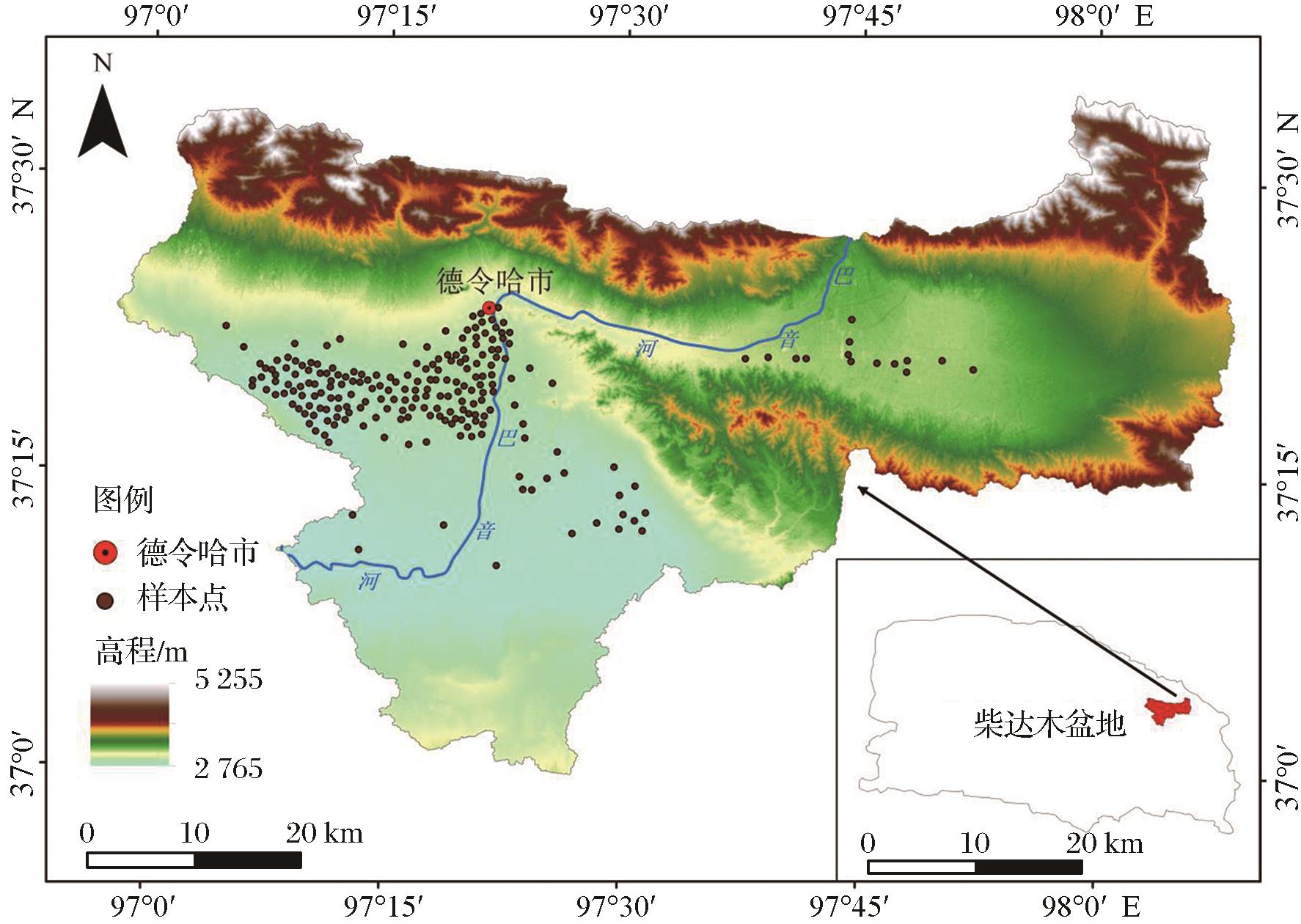
Li ZHENG, Xin JIN, Yanxiang JIN, Kai DU, Xufeng MAO, Yanhong QIN. Irrigation Grass Space Distribution Data Set in the Middle and Lower Reaches of the Bayin River[J]. Remote Sensing Technology and Application, 2024, 39(4): 777
- Remote Sensing Technology and Application
- Vol. 39, Issue 4, 777 (2024)
Note: This section is automatically generated by AI . The website and platform operators shall not be liable for any commercial or legal consequences arising from your use of AI generated content on this website. Please be aware of this.
Abstract


Set citation alerts for the article
Please enter your email address

© Copyright 2018-2021 | Chinese Laser Press. All Rights Reserved 沪ICP备15018463号-20